2009 – Civil Air Patrol ARCHER
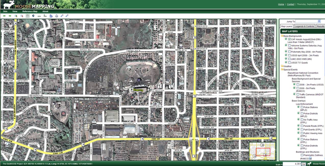
During the Republican National Convention (RNC) held in Twin Cities Metro in August and September 2008, the SharedGeo development team worked closely with the Minnesota Wing of the Civil Air Patrol (CAP) to put in place high speed download, conversion and WMS distribution of CAP ARCHER (Airborne Real-time Cueing Hyperspectral Enhanced Reconnaissance) imagery on an as needed basis. As a result, event planners had web distributed access to near real-time imagery down to 6 inch resolution if circumstances warranted. This is believed to have been a first in the nation effort during a National Special Security Event (NSSE).
After this RNC experience, SharedGeo has continued to research and refine the imagery software and programming that made the original effort possible. Although CAP has since retired these systems, SharedGeo stands ready to deploy similar collaborative low cost approaches to remote sensing collection when needed by units of government.


