
2013 – USNG Google Maps Mashup
Quick Facts
Purpose: Create an improved USNG Mashup
Project Status: Complete!

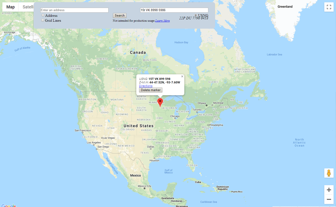
The integration of the U.S. National Grid (USNG) coordinates in online web mapping systems has only been partially implemented on a variety of web mapping pages. When not in possession of USNG standardized printed map products, one of the most difficult things to do is to take a USNG coordinate and quickly produce a basic, readable map, or visa versa: take a basic map or address and obtain a USNG coordinate.
To relieve this difficulty, Larry Moore of the USGS developed a web map based on the Google Maps API that incorporated USNG coordinates. The intent of this Shared Funding Project was to upgrade Larry Moore’s original work to the latest version of the Google Maps API and in doing so allow for some basic enhancements that will add usability.
This project was partially funded by SharedGeo along with other interested stakeholders. This “SharedGeo Shared Funding Project” model is used as a way for stakeholders interested a Shared goal to Share the cost and work. Learn More about Shared Funding. SharedGeo is an IRS approved 501 (c) 3 nonprofit. You will receive a tax deductible receipt for any donation you give.
The outcome of the project was a successful implementation of the USNG Google Maps Mashup, with the code made available for free.
- View the USNG Google Maps Mashup
- View, learn more about the USNG Google Maps Mashup, or get the code